European River Restoration Atlas

RESTORE THE RIVER. RECOVER THE SYSTEM.

A practical guide to river restoration, aquatic habitat recovery, monitoring, natural river processes and restoration project planning.
MAP Catchment & reach surveying
ASSESS Hydromorphology & biology
RESTORE Channel form & connectivity
MONITOR Water & ecological response
RECOVER Dynamic self-sustaining reach
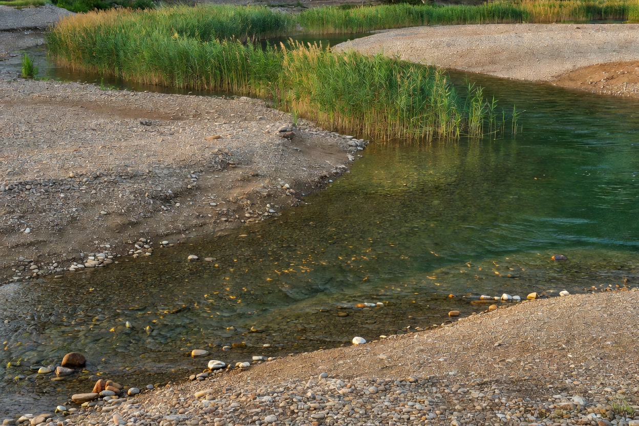
Restored European river reach displaying natural meandering channel form, sorted gravel bars, and healthy riparian vegetation buffer

FROM DEGRADED CHANNEL TO FUNCTIONING RIVER

Restoration succeeds when interventions address root physical and hydrologic constraints across the catchment.

01

ASSESS

Survey hydromorphology, flow regimes, sediment deficit, and longitudinal barriers before choosing interventions.

Baseline Form
02

PLAN

Define reach-specific ecological objectives, model hydraulic conveyances, and coordinate landowner permissions.

Permit & Design
03

RESTORE

Remove bank revetments, reconnect historical floodplains, place large wood, and reshape cross-sectional geometry.

Field Work
04

MONITOR

Sample macroinvertebrates, log dissolved oxygen and temperature series, and photograph bed morphology across seasons.

Multi-Year Data
05

ADAPT

Inspect post-spate gravel sorting, manage non-native vegetation, and let dynamic fluvial processes refine channel morphology.

Dynamic Recovery

Reach Recovery Indicators

Channel Form: Cross-sectional asymmetry, low-flow thalweg sinuosity, gravel bar development.
Sediment Regime: Balanced coarse bedload delivery without excessive fine sediment smothering.
Riparian Zone: Multi-aged native woody vegetation, continuous canopy shade, and bank root reinforcement.
Floodplain Link: Low-bank threshold allowing periodic overbank inundation at 1- to 2-year flood events.
Water Quality: Stable dissolved oxygen saturation, lower summer peak thermal extremes, low turbidity.
Biotic Indicators: EPT insect taxa richness, natural fish spawning gravel utilization, pool refugia occupancy.

FIVE TECHNICAL MODULES

Dedicated operational references covering foundational principles, in-stream habitat, channel rewilding, monitoring protocols, and project workflows.
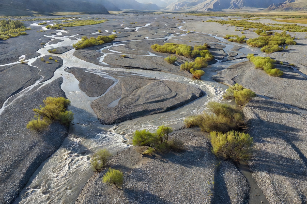
Dynamic braided river system carving through a broad gravel valley floor with multi-thread channels and gravel bars
Module 01 Fluvial Geomorphology

River Restoration Basics

Fundamental concepts of river condition, degradation drivers, hydromorphological forms, riparian corridors, and longitudinal continuity across catchments.
  • Scope: Degraded channel traits & baseline goals
  • Key Focus: Planform, profile, and cross-section restoration
  • Target: Catchment managers, students, and planners
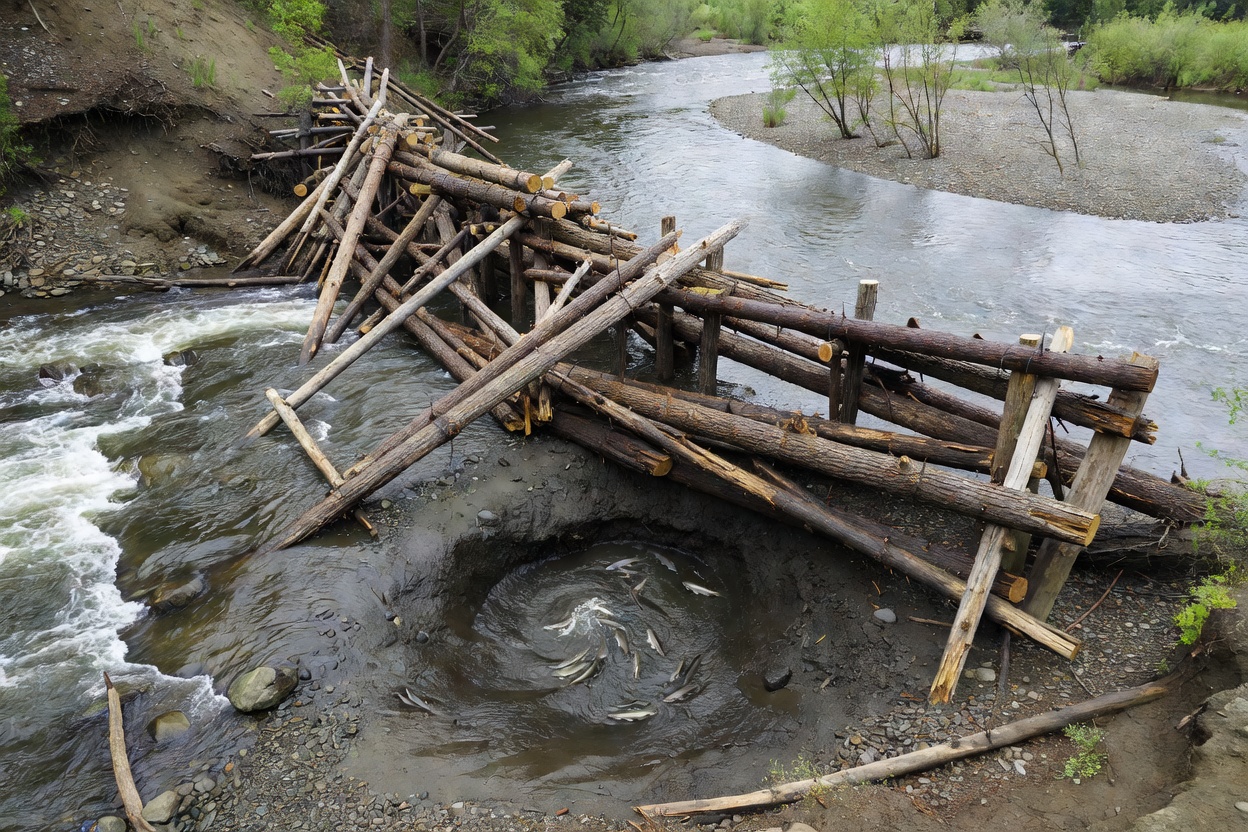
Engineered large woody structure embedded in river bend creating scour pool and juvenile fish shelter
Module 02 Aquatic Ecology

River Habitat Restoration

Practical in-stream enhancements: pool-riffle sequences, gravel replenishment for fish spawning, large wood placement, macroinvertebrate substrate diversification, and thermal refugia.
  • Scope: Fish, benthic macroinvertebrates, and macrophytes
  • Key Focus: In-stream wood, gravel sorting, and velocity diversity
  • Target: Fisheries biologists and aquatic conservationists
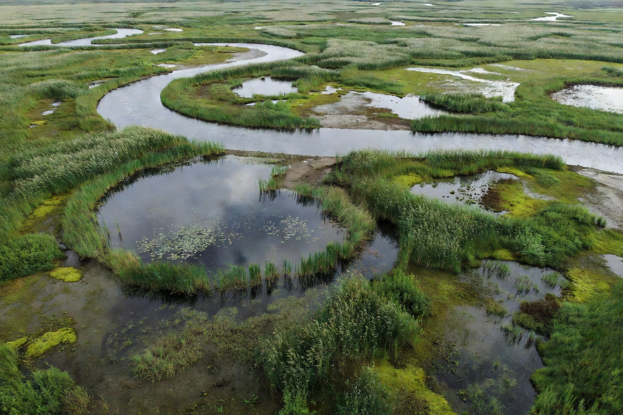
Naturally meandering river flowing through an unconstrained floodplain wetland with oxbow formations
Module 03 Process Dynamics

River Rewilding & Natural Processes

Allowing hydrologic and sediment forces to dictate channel evolution. Covers weir removals, lateral channel migration, floodplain reconnections, and navigating infrastructure constraints.
  • Scope: Self-sustaining fluvial dynamics & freedom space
  • Key Focus: Barrier removal, sediment feed, and flood accommodation
  • Target: Watershed strategists and environmental engineers
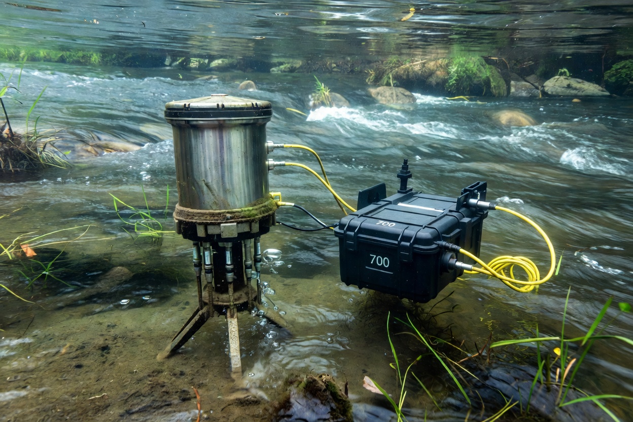
Field water quality multiparameter sensor submerged in river current alongside ecological survey equipment
Module 04 Field Assessment

Water Quality & River Monitoring

Designing baseline and post-restoration monitoring campaigns: dissolved oxygen, temperature loggers, turbidity meters, benthic kick-sampling, and hydromorphological audit sheets.
  • Scope: Physicochemical and biological assessment tools
  • Key Focus: Multi-season timeseries and biological metrics
  • Target: Water quality officers and field technicians
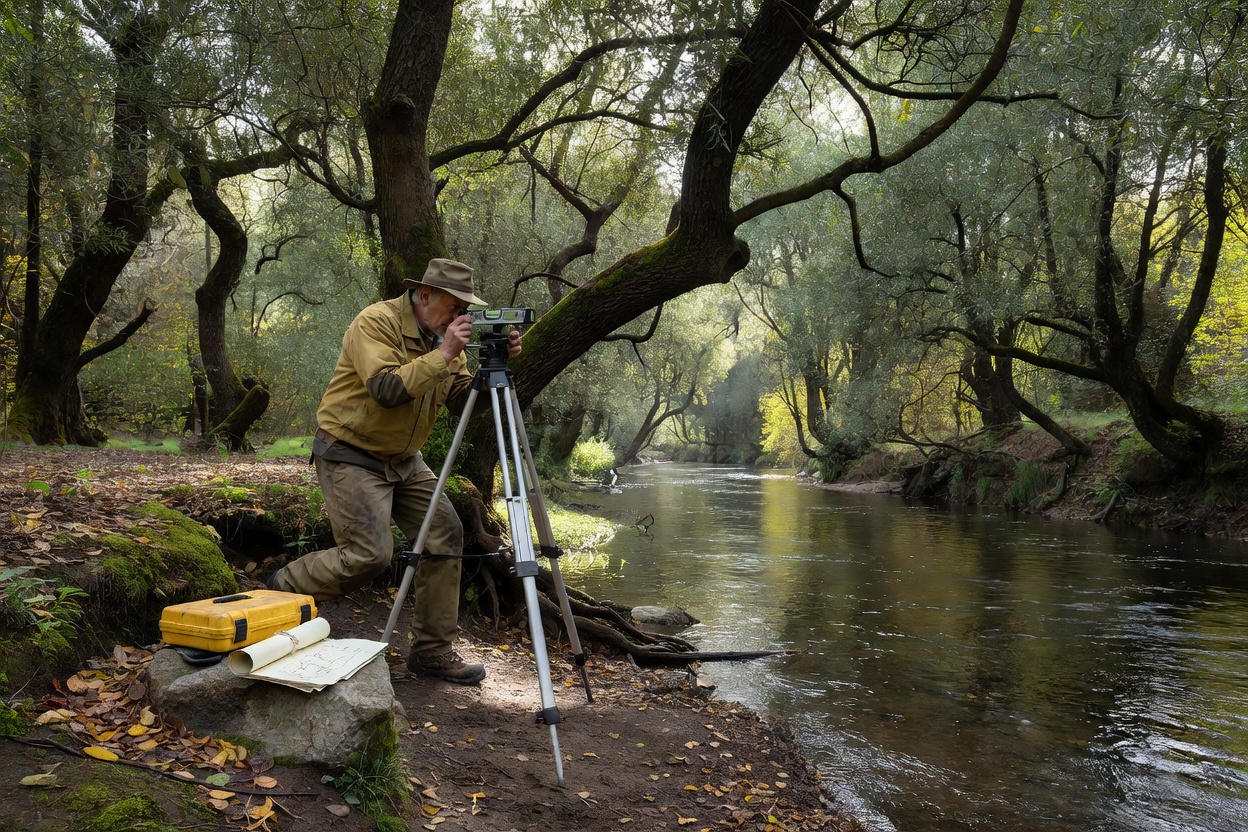
Topographic surveyor leveling a river cross-section in riparian woodland setting with optical instruments
Module 05 Project Management

River Restoration Project Planning

End-to-end delivery framework: defining measurable goals, hydraulic modeling, statutory permitting, landowner engagement, machine construction access, and long-term adaptive maintenance.

  • Scope: Feasibility, consent, construction, and adaptation
  • Key Focus: Hydraulic risk, environmental permitting, and machinery access
  • Target: Project managers, civil designers, and catchment trusts

Core Operational Principles

Successful river restoration works with natural catchment dynamics rather than attempting to freeze a stream into an artificial geometry.

  • Catchment-Scale Perspective: Reach-scale modifications must account for upstream sediment supply and downstream backwater effects.
  • Dynamic Equilibrium: Natural channels continuously erode and deposit sediments; stability is dynamic, not static.
  • Safety & Compliance: All instream civil engineering requires formal hydraulic calculations, flood-risk assessments, and environmental agency permits.

Fieldwork Notice

Restoration sites involve deep flows, heavy machinery, and shifting sediment banks. Information published in this atlas serves solely as an educational reference.

Submit Inquiries