River Restoration Project Planning: Feasibility, Consents, and Delivery
Delivering an in-stream restoration project requires structured feasibility engineering, statutory permitting, and adaptive post-construction management.
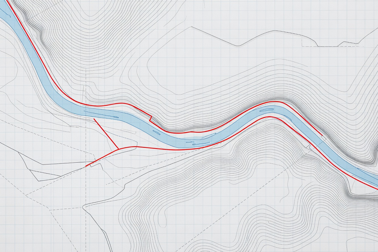
The Nine Phases of Project Delivery
Restoration failure is rarely caused by ecological misunderstanding; it usually results from unaddressed land-use conflicts, permitting delays, hydraulic flood risk miscalculations, or inadequate plant access planning during earthmoving.
- Scoping: Setting SMART ecological objectives matched to catchment position
- Consenting: Environmental permits, flood risk approvals, and planning permission
- Adaptive Cycle: Multi-year post-construction inspection and reactive maintenance
1. Scoping and Baseline Assessment
Every restoration plan begins with a comprehensive physical and biological catchment baseline. Practitioners review historic aerial photographs, 19th-century tithe maps, LiDAR digital terrain models, and existing biological survey records.
Site visits determine existing channel dimensions, bank stability, sediment sources, utility crossings (water mains, high-voltage cables, gas pipelines), and invasive non-native species (such as Japanese knotweed or Himalayan balsam) that could proliferate if soil is disturbed.
2. Stakeholder Engagement and Land Ownership
Rivers run through complex mosaics of private and public land. Key stakeholders include riparian landowners, tenant farmers, angling clubs, local drainage boards, recreational waterway users, and municipal authorities.
Early engagement addresses core concerns: loss of agricultural land from riparian fencing, changes to field drainage tile outfalls, public safety near newly excavated pools, and liability if large woody structures shift during extreme storms.
3. Statutory Permissions and Flood Risk Modeling
Any physical works carried out within or adjacent to a classified watercourse require formal environmental permits from statutory authorities (such as the Environment Agency in the UK or state water authorities across Europe).
| Assessment Area | Technical Tool | Regulatory Requirement |
|---|---|---|
| Hydraulic Conveyance | 1D/2D hydraulic models (HEC-RAS, TUFLOW) | Demonstrate no upstream or downstream flood level increase on third parties |
| Protected Species | Phase 1 habitat surveys; eDNA testing | Protect breeding otters, water voles, white-clawed crayfish, and salmonids |
| Archaeological Heritage | Historic environment records & watching briefs | Identify buried historic mill infrastructure, fords, or paleochannels |
| Waste Classification | Soil chemistry testing (WAC testing) | Ensure excavated canalized bank material is safely reused on-site or disposed |
4. Construction Planning and Machinery Access
In-stream civil operations are typically constrained to low-flow summer windows (typically July to October) to minimize sediment pollution and avoid disturbing winter fish spawning beds.
Civil contractors use low-ground-pressure tracked excavators, biodegradable hydraulic fluids, and floating silt curtains positioned downstream. Clean temporary access tracks using heavy bog mats prevent soil compaction across sensitive floodplain meadows.
5. Adaptive Management
River restoration is an ongoing biological process rather than a static piece of civil infrastructure. Adaptive management schedules formal inspections after the first, third, and fifth post-construction winter high-flow spates.
Minor adjustments—such as securing loose root wads, controlling non-native weeds, and replanting failed riparian willow whips—maintain long-term project trajectory without reversing natural geomorphic evolution.
Good For
- Securing statutory consent without avoidable regulatory rejection cycles.
- Preventing unintended third-party flooding through validated hydraulic models.
- Minimizing machine footprint and soil compaction across floodplain meadows.
- Building long-term collaborative agreements with agricultural landowners.
What to Know
- Permitting lead times typically require 4 to 9 months before civil works commence.
- General conceptual guides cannot substitute for certified civil engineering calculations.
- Invasive species management must precede earthmoving by at least one growing season.
- Failure to secure written legal drainage agreements can stall active construction.