River Restoration Basics: Structure, Processes, and Catchment Dynamics
River restoration is the practice of reinstating natural fluvial processes, morphological diversity, and biological continuity in degraded watercourses.
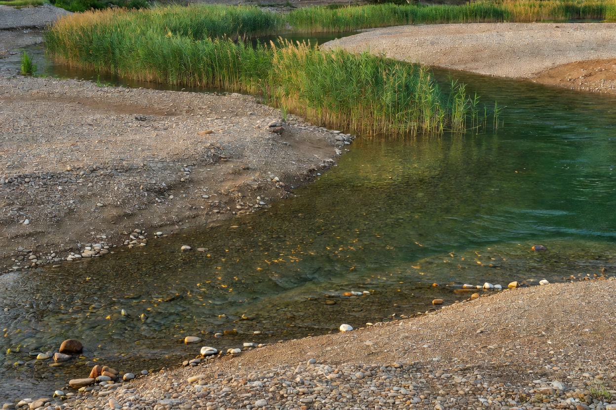
Defining the Modern Degraded River
Centuries of canalization, dredging, and bank armoring have transformed multi-thread, variable-depth waterways into uniform trapezoidal flumes. These modified channels disconnect the river from its floodplain, evacuate flood flows at destructive velocities, and purge coarse gravels essential for aquatic reproduction.
- Bed Incision: Channel bed drops below the historical water table
- Homogeneity: Elimination of pool-riffle transitions and slackwater zones
- Lateral Disconnection: Embankments prevent seasonal overbank inundation
1. Fundamental Physical and Ecological Goals
Restoration does not aim to recreate an arbitrary static historical state. Instead, practitioners aim to establish conditions where self-regulating fluvial processes can resume.
A resilient river system requires three spatial dimensions of continuity: longitudinal (upstream to downstream connectivity for organisms and sediment), lateral (active interaction between the channel and its riparian floodplain), and vertical (surface water interaction with hyporheic interstitial zones beneath the gravel bed).
When these three dimensions function, natural hydraulic forces continuously deposit point bars, carve outer bank scour pools, sort gravels, and sustain native macroinvertebrate communities.
2. Morphology: Planform, Longitudinal Profile, and Cross-Section
Channel form determines water velocity, shear stress, and sediment transport capacity.
| Dimension | Degraded State | Restored Objective | Hydromorphic Benefit |
|---|---|---|---|
| Planform | Artificially straightened, fixed alignment | Meandering, wandering, or braided geometry | Reduces channel slope; creates varied energy regimes |
| Longitudinal Profile | Flat, uninterrupted steep slope, or stepped by drop structures | Riffle-run-pool sequences and step-pool cascades | Oxygenates flow; creates resting and feeding zones |
| Cross-Section | Trapezoidal channel with steep reinforced banks | Two-stage channel with inset flood berms and sloping banks | Dissipates high-flow energy over inset flood benches |
3. The Riparian Zone: Buffer and Nutrient Moderator
The riparian zone comprises the interface between land and river water. Intact riparian corridors contain multi-tier vegetation including native willows (Salix spp.), alders (Alnus glutinosa), and sedges.
These plants provide essential ecosystem services: root matrices stabilize fine bank sediments without concrete; overhead canopies cast shade, moderating summer water temperatures; and falling leaf litter provides primary coarse particulate organic matter (CPOM) fueling the aquatic food web.
4. Constraints and Site Dependencies
No single restoration template applies universally. Project objectives must reflect catchment position, geology, and boundary limitations:
- Lowland Chalk Streams: Groundwater-dominated, low-energy systems require fine gravel bed stability, macrophyte maintenance, and reduced agricultural sediment wash-off.
- Upland Spate Rivers: High-energy, boulder-strewn systems require continuous sediment supply, unconstrained valley floor migration, and barrier removals to enable migratory salmonid access.
- Urban Watercourses: Confined by buried utilities, road bridges, and adjacent properties, requiring hybrid engineered solutions such as daylighting culverts or constructing bio-revetments.
Good For
- Reversing chronic bed incision in agricultural catchments.
- Reducing downstream flood wave peaks through natural floodplain storage.
- Reinstating natural gravel sorting for benthic invertebrate communities.
- Enhancing natural nutrient retention and water filtration.
What to Know
- Restoration cannot succeed if upstream pollution sources remain unaddressed.
- Channel modifications alter hydraulic conveyance; backwater modeling is mandatory.
- Land acquisition or landowner consent is necessary when establishing wider riparian corridors.
- Post-construction stabilization requires two to three flood seasons to equilibrate.